The native communities of Sawawo Hito 40 and Nueva Bella (Ucayali) have completed the participatory mapping phase for their Private Conservation Area (ACP) initiative. Developed through a collaborative process, these maps document ancestral knowledge while identifying critical zones for subsistence, biodiversity conservation, and other vital community resources.
For over a year, both communities have been advancing the creation of two ACPs to protect their territories and natural resources. The project aims to safeguard 53,000 hectares of Amazon rainforest, promote sustainable hunting and fishing practices, and preserve natural resource access for future generations.
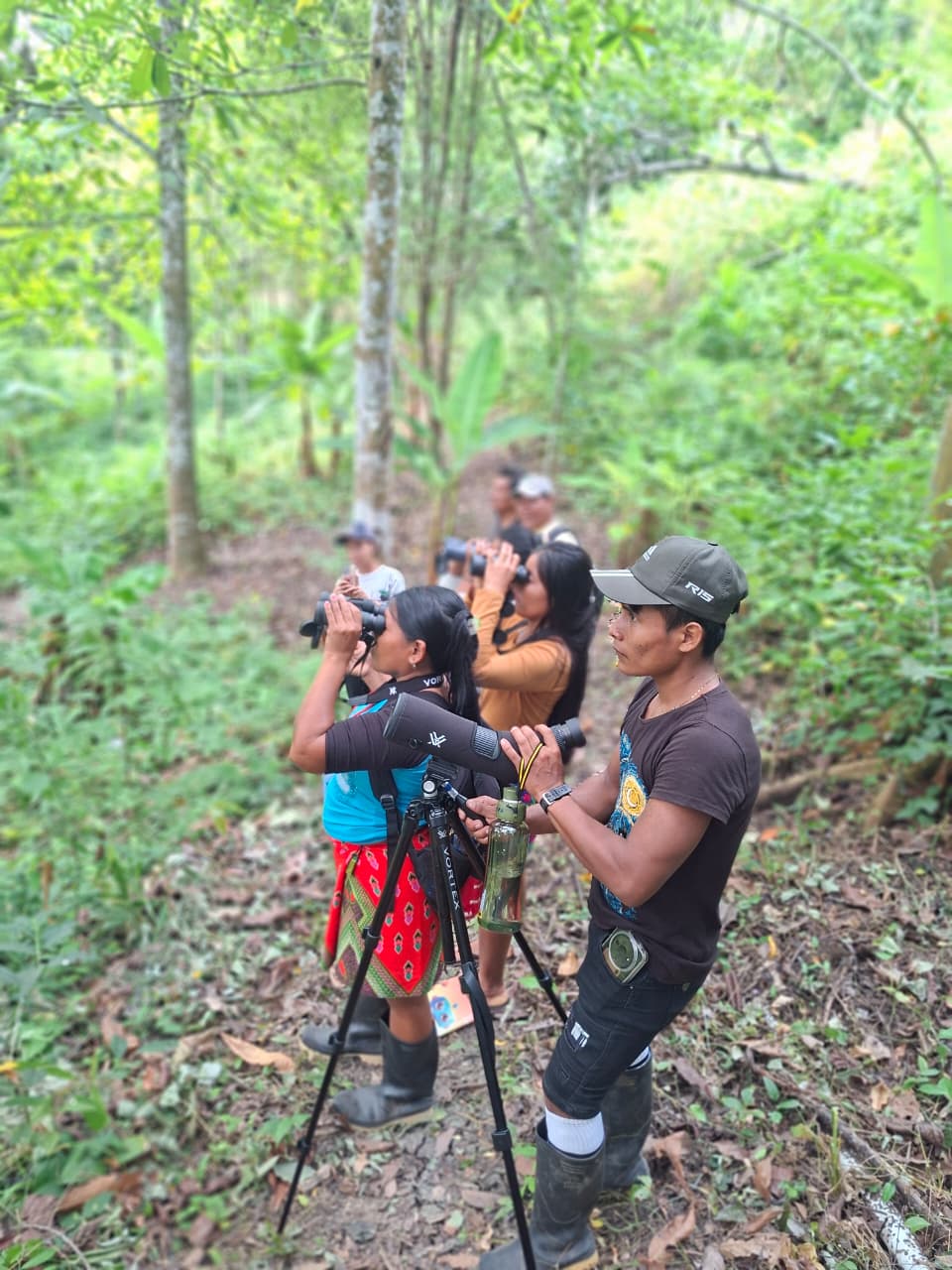
With mapping concluded, communities are now pursuing legal recognition of the ACPs. In coming months, biologists will conduct avian surveys to document species presence, habitat conditions, and identify any endangered or vulnerable birds in the area. Specialists will use audiovisual equipment to thoroughly document the region’s avifauna.
About the ACPs and Participatory Mapping
The community-generated maps integrate sacred sites, traditional hunting/fishing routes, agricultural areas, biodiversity zones, and other culturally significant locations. This spatial planning tool reflects their deep territorial connection and informs environmental management decisions.
The mapping initiative was developed under the Conserva Aves project, led by American Bird Conservancy (ABC), National Audubon Society, BirdLife International, and the RedLAC (Environmental Funds Network of Latin America and the Caribbean). Implementation partners include ECOAN (Andean Ecosystems Association), Profonanpe, and ProPurús, with funding from the Bezos Earth Fund.
The creation of the Private Conservation Areas (ACPs) is spearheaded by the Sawawo Hito 40 and Nueva Bella communities, with technical support from the ProPurús Association, which has guided biological assessments and land-use planning.
The project focuses on three core objectives:
-Securing legal recognition for the ACPs
-Protecting biodiversity in the Amazon ecosystem
-Promoting sustainable resource use
This approach strengthens community governance, ensuring conservation aligns with cultural values and local needs.
A Biodiversity Under Threat
The participatory mapping process has identified priority zones for community life, including:
-Hunting grounds for peccaries and deer
-Fishing areas in rivers and lakes rich in native species
-River navigation routes
-Agricultural plots growing cassava and plantains
-Sacred spiritual sites
Developed under the Conserva Aves Initiative—led by American Bird Conservancy (ABC), National Audubon Society, BirdLife International, and RedLAC (Environmental Funds Network of Latin America and the Caribbean)—the maps were implemented with partners ECOAN (Andean Ecosystems Association), Profonanpe, and ProPurús, funded by the Bezos Earth Fund.
Growing Pressures
Peru’s Amazon faces escalating threats from deforestation, illegal mining, and extractive industries. In 2023 alone, Peru lost 132,216 hectares of Amazon rainforest, with Ucayali among the hardest-hit regions (SINIA 2024 data).
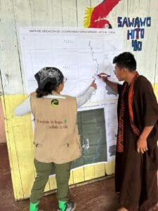
Community Engagement in Sawawo Hito 40’s Participatory Mapping